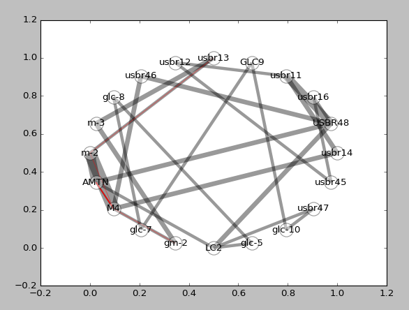
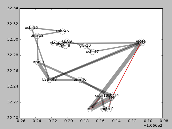
Network graphs of the relative-gravity observations are available using the menu options Network graph - circular and Network graph - map view, on the Tools menu. The first option plots stations equally spaced around a circle, whereas the latter plots stations according to their spatial location (in Cartesian coordinates; map projections are not supported). For either option, line weight is proportional to the number of delta-g's between any two stations. Enabled delta-g's (unchecked in the Delta Table) are plotted as gray lines. Disabled delta-g's are plotted as red lines.